Two titles from Verterbrate Publishing have been shortlisted for the prestigious 2016 Boardman Tasker Prize for Mountain Literature.
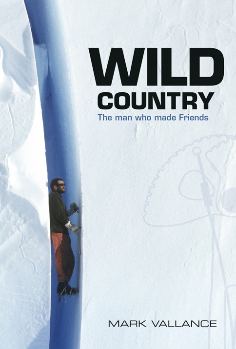
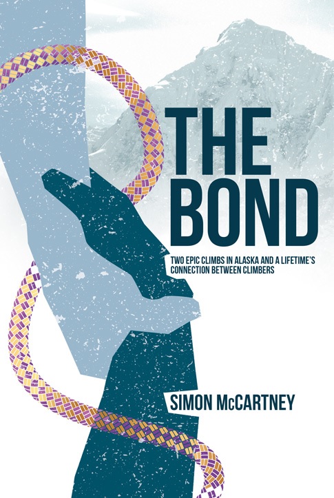
The two nominated titles are Wild Country by Mark Vallance and The Bond by Simon McCartney.
To give you some background, the Boardman Tasker (BT) prize was founded to commemorate Peter Boardman and Joe Tasker – two mountaineers who perished on Everest in 1982 and left behind a legacy of classic mountain literature
The Boardman Tasker Charitable Trust was set up in 1983 and has since recognised the top mountain literature with an annual prize.
Strong lineup for this year’s competition
Interest in this year’s remained as great as ever with the competition resulting in 35 books being submitted, and last week the judges revealed their shortlist of five.
Commenting on the announcement, Jon Barton Managing Director of Vertebrate Publishing said: ‘we are thrilled to have been shortlisted for this year’s BT award. This internationally acclaimed award is much sought after and to have two of our books in the running this year is fantastic, it reflects the passion and dedication of our authors and the entire Vertebrate Publishing team’.
Find out more about the two books below.